ABOUT THE HIGH COAST
Good to know about the High Coast
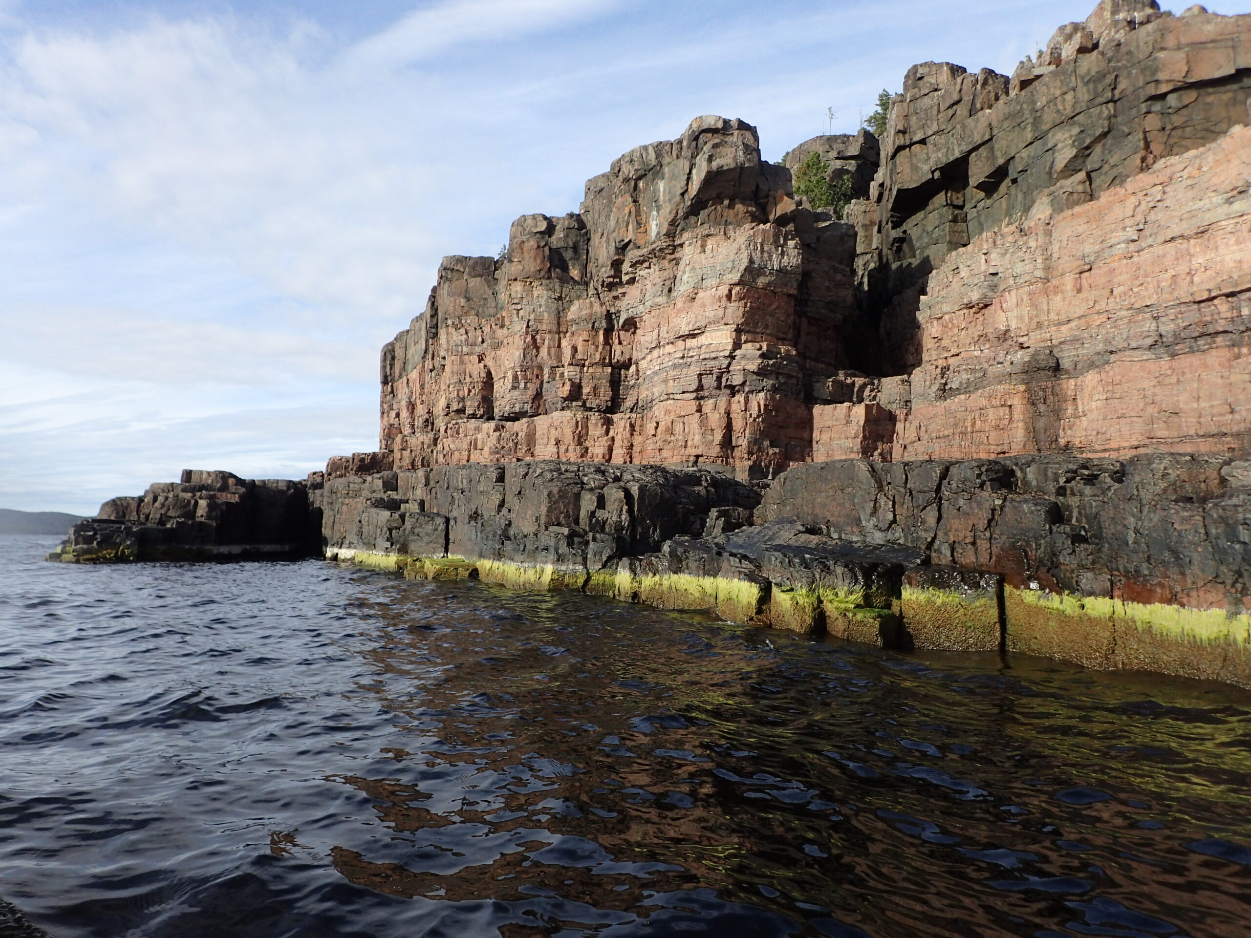
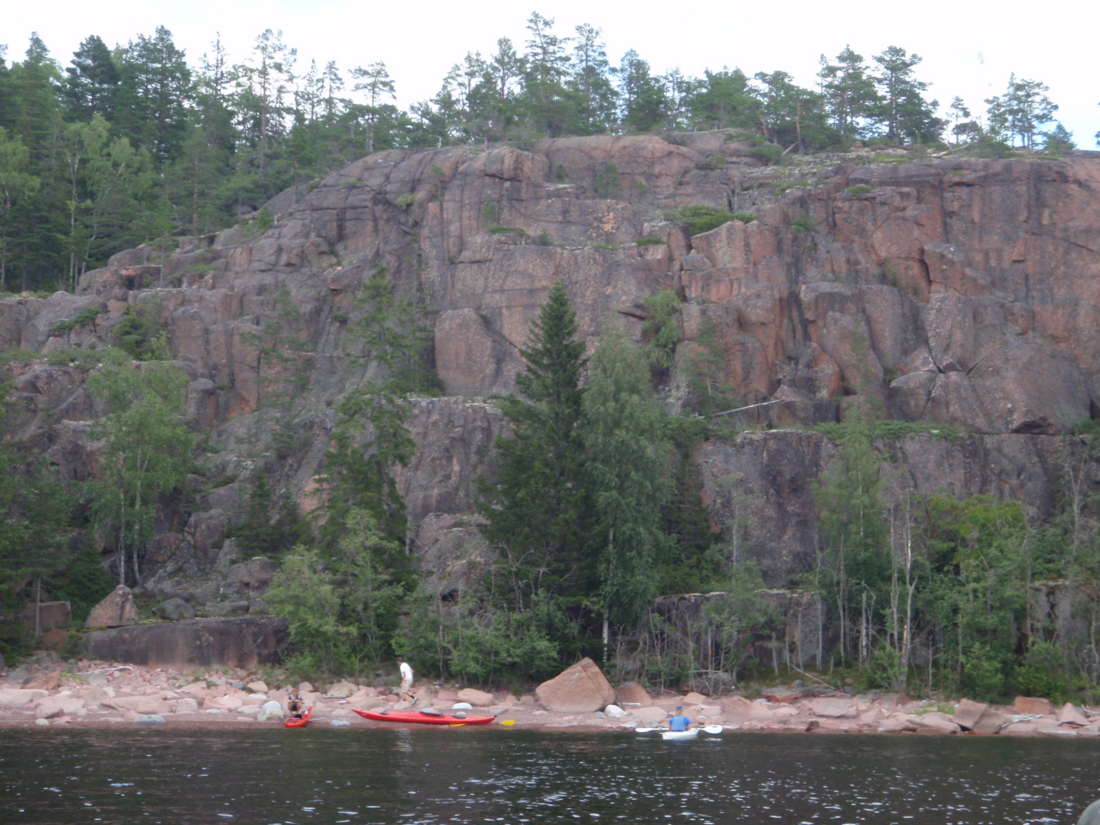
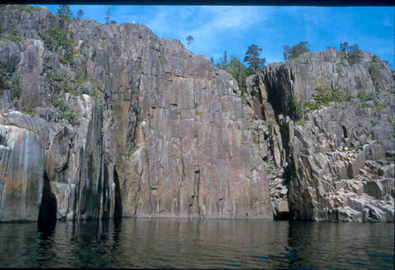
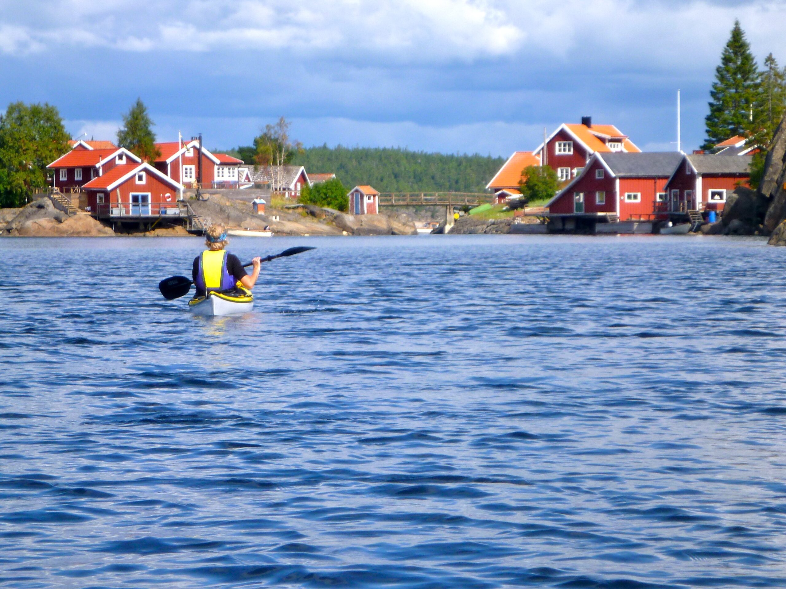
The High Coast is magnificent, but at times a bit rough. As opposed to e g the Stockholm archipelago, where it is possible to kayak many miles covered by protective islands and skerries, there is here only one island, or sometimes none, to protect against the open Sea – next land is Finland. Since the prevailing wind in summer is from South, and the coastline is roughly South-North, the wind, when strong, can build up decent waves. If it is calm when you start, or there is a wind from the Northwest or West, the Sea may be flat, but if you are out for a multi-day tour you must still be prepared for weather change. It may then become necessary to take a pause, e g to pass Rotsidan, an awesome but a bit tricky stretch of around four km:s of staircase-shaped rocky beach, where the waves in onland wind have a tendency to rise and break since the ”stairs” continue out for a long, shallow bit under the surface. A bit to the north there is Ravson, a peninsula whose steep outside can feel long when there is no good landing place for some time. Take a break before starting out here, is a good tip.
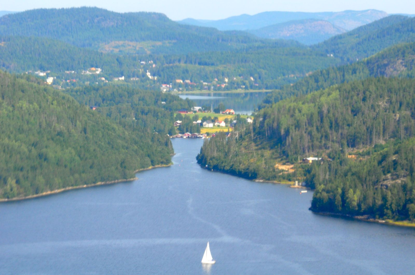
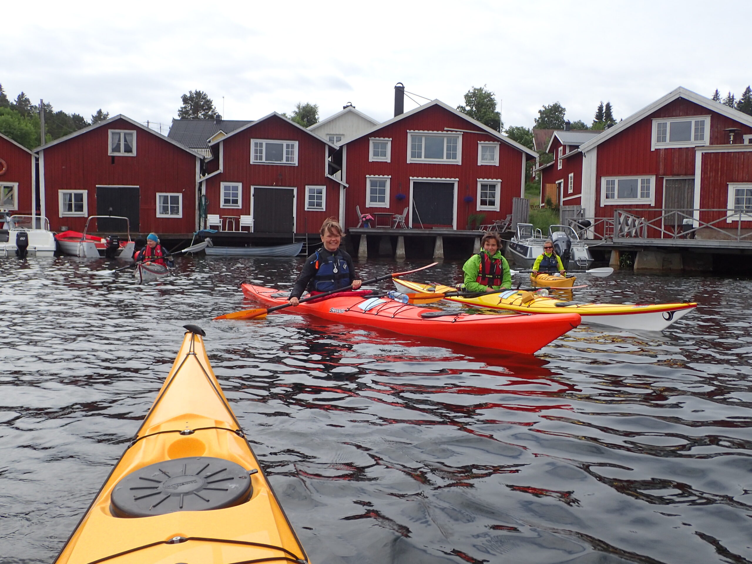
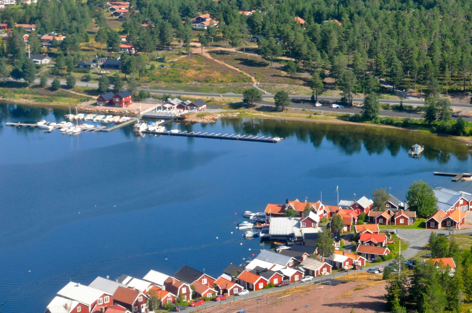
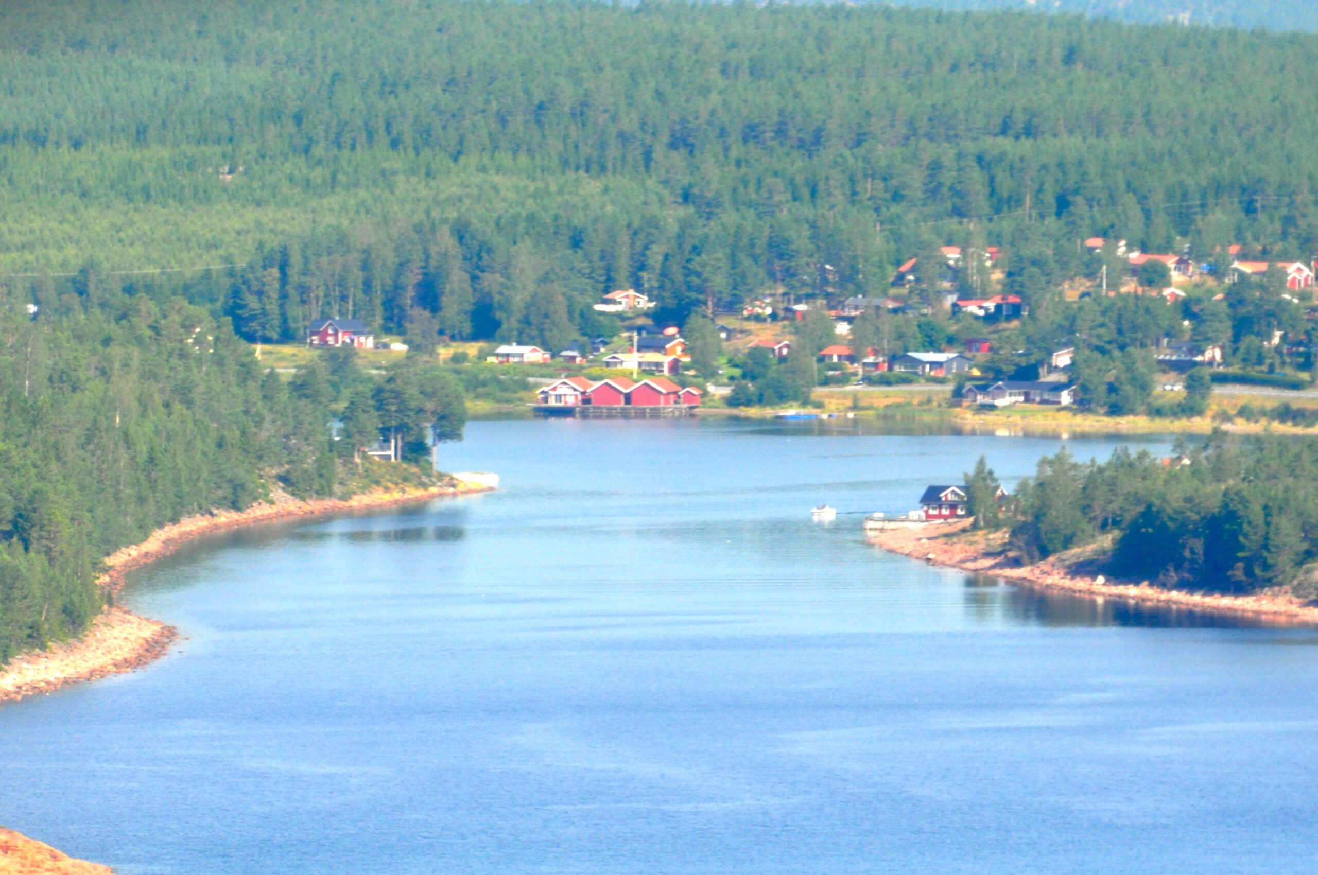
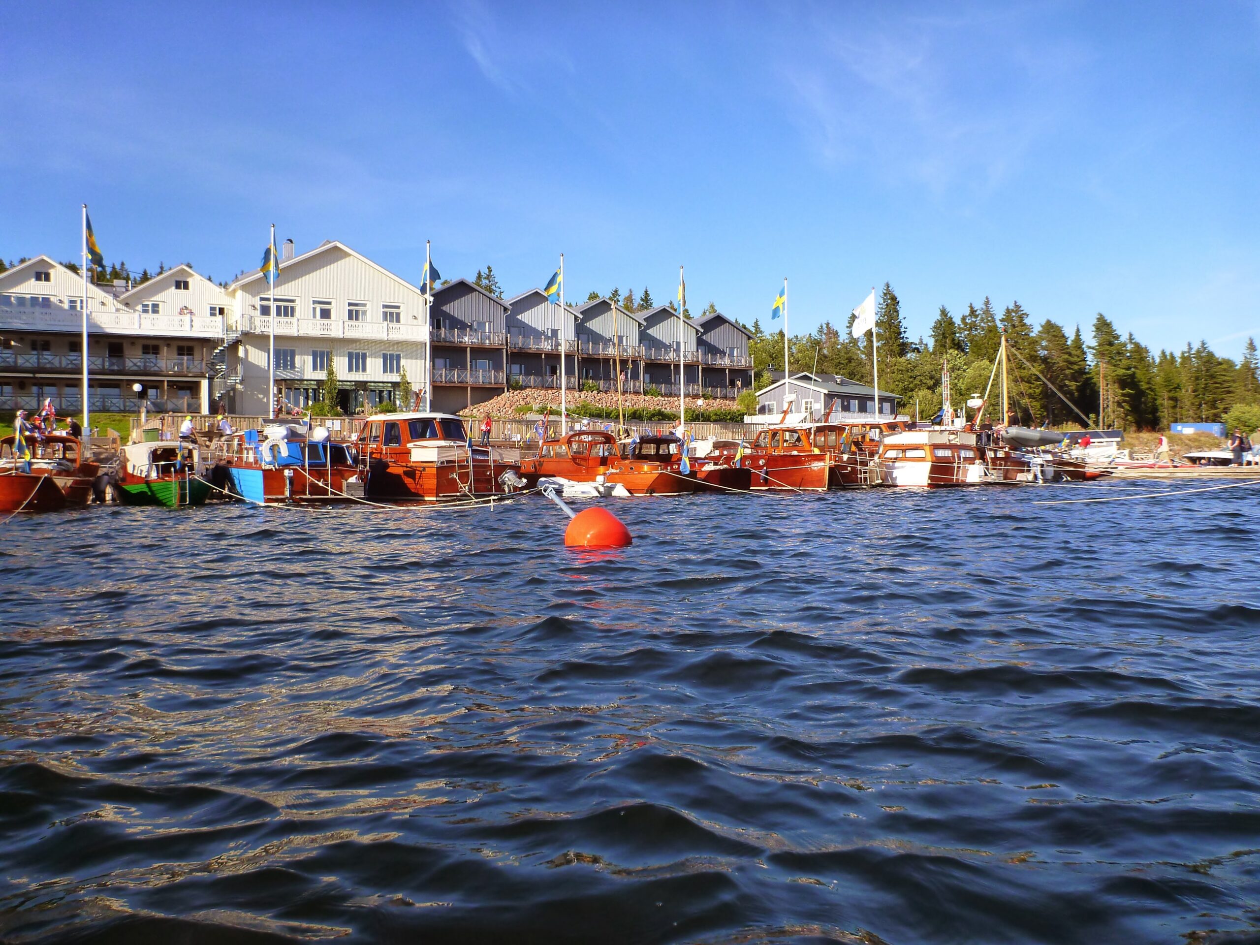
A few favorite sites, from south to north, are: Storön, /meaning ”Great Island”/ something of a hidden gem, uninhabited, where you with some luck can join the ”elevator” a few meters up and down across the red and black stripes of cliffs, with intermittent intensely green, wet seaweed at the botton, in evening sun, with a suitable swell, absolutely magic – here the waves do not break, since the cliff is steep and its deep just outside; the narrow passage into Häggvik innermost in Gaviksfjärden, where one can also pop in and visit the remarkable open air museum of.. everything!, Mannaminne, on the lovely Nordingrå peninsula; Rotsidan, a few kilomteters of sea-washed-polished low cliff plateaus, but often tough to land a kayak on; the light house rock island Högbonden whose unmistakable profile you see in front of you for some time. Often but not always you can find a still place on its lower part of large pebbles where you can land by kayak; the charming fishing village Bönhamn; ditto Norrfällsviken way in into the next narrow bay of red rocks, with an excellent fish restaurant; if weather and kayaking skills allow, the twin island Ulvön has quite a lot to offer, but beware the long open crossing if the water is cold; the tallest island of Sweden, Mjältön, offers a magnificent view (after some hike and climb!); further to the north the majestic rocky point Balesudden shining in red, with the crystal clear tarn Balestjärnen on the way to the top; if you instead head more east from Mjältön, north from Ulvön, you will approach Skrubbans dramatic cliffs, and close behind it ”The most beautiful island of Sweden”, Trysunda, with its perfectly oval old fishing village; and then on to the north, choosing leeward side of the string of islands, but preferably on the east side of Vågön (”Wave island”) not to miss the absolutely charming little fishing harbor Grisslan, with its bridge looking like something out of the Moomin Valley, as a fine ending before landing in Örnsköldsvik or on the major peninsula east of Domsjö; if not weather and schedule permits a last highligt in the form of Skags udde, which even in calm weather can be pretty dramatic in its exposed position with the Sea on three sides.
Landing places for the night and breaks in daytime is most times possible to find for the smaller group – if you are more than 2 – 3 tents you need to plan more, and maybe aim more for the prepared camping sites. Not every island is possible to land on with a kayak, or any boat, the High Coast is often, right, HIGH, so sometimes it is wise to start looking a couple of hours before you really must find a place. On the other hand, it is light almost all night.. Leeward and windward sides means more in the exposed High Coast then in many other places, meaning also that it makes it difficult to ”lock” your route, night sites and itinerary. A few alternatives for various weathers and winds is wise to aim for.
Tide – there is luckily virtually no tide to worry about, since it does not have time to come all the way up from the Öresund Straits.
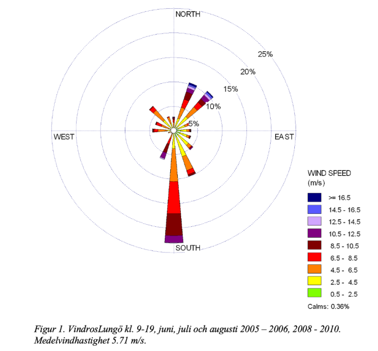
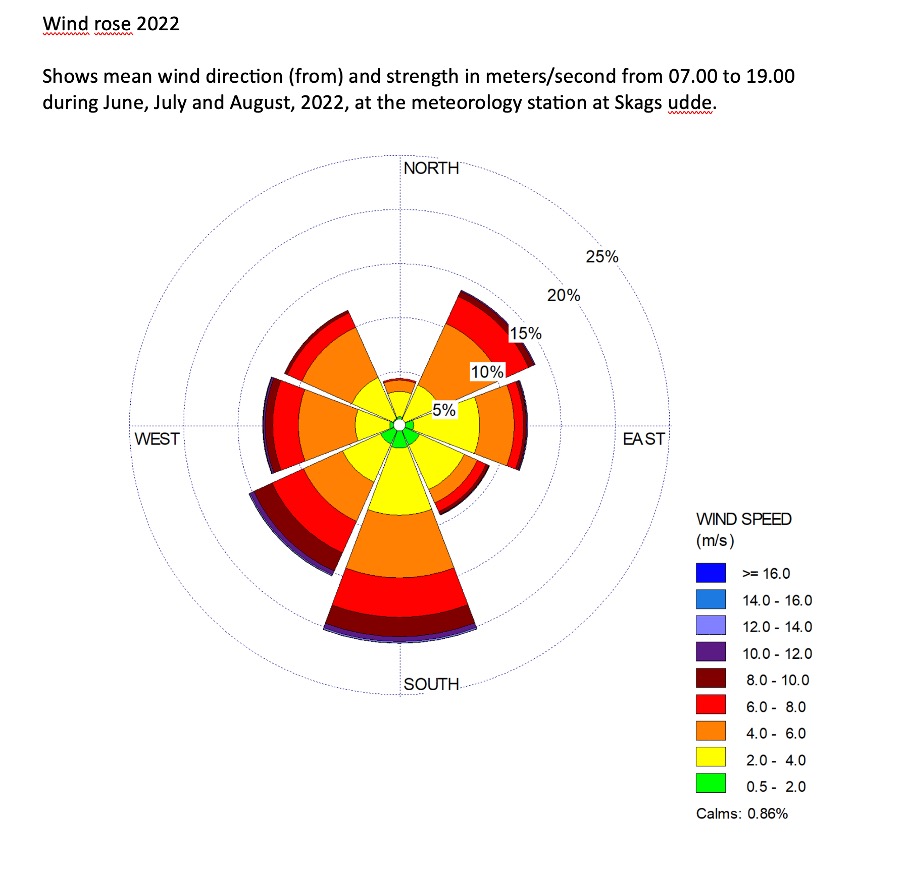
The wind, as said, is most often but not always from the South, in daytime in summer. Below we post two Wind Roses, one from Lungön (just North of Harnosand) 2005 – 2010 och en från Skags udde (the Northernmost point of the High Coast) 2022.
Please note and remember that many islands are bird protection areas, and generally the valuable gift and treasure, Allemansrätten – ”The Right of Public Access” also carries with it responsibilities. No one should be able to see where you had your camp, or breaks. You are obliged to take all trash and leftovers with you when you go. This is not less strict in Nature protection areas – see information from the local County Authority, County Administrative Board, Länsstyrelsen Västernorrland, with also a great del of good tips and reading in the detailed booklet ”38 naturreservat och en nationalpark” (to be found in the previous link).
More general descriptions and more tips can be found e g here:
- ”Höga Kusten – vandring, paddling och sevärdheter i världsarvet, skärgården och Skuleskogens nationalparkt”. (Unfortunately only in Swedish). Excellent book by Steven Ekholm, third edition 2022.
- hogakusten.com
One of UNESCO:s World Heritages
The High Coast is one of UNESCOs well known World Heritages. With its dramatic landscape and crystal clear waters this is a destination not to be missed.
Read more about the World Heritage
Book your next kayak adventure with us
Come to us for an unforgettable experience in the High Coast this summer! Any questions? Mail us at: